Forschung
Through a holistic approach and the use of several different research tools from diverse archaeological, historical, and natural scientific disciplines, we seek a deeper understanding for the development, functionality and complexity of rural settlements and their environment in Late Antiquity. To achieve this, we will not only apply archaeological and historical methods of research, but will also imply geological, environmental, anthropological and archaeobotanical approaches. To gain better inside into the structures and networks of small settlements, will allow us a bottom-up perspective into human-landscape relations, which might offer answers to recent ecological problems.
The focus of the research project will be on the Late Ancient settlement of al-Jumayil, Jordan. Which is a small rural village in close vicinity to the roman Castrum Mefaa and about 40 kilometres south of the diocesan city Madaba. The village has till now been scientifically unexplored, apart from some mentions in travel reports from Tristram (1873), Brünnow/Domaszewski (1904), Musil (1907), Glueck (1933/34) and Savignac (1936). In course of the “Limes arabicus project” Parker conducted a surface survey on site. Regarding the pottery shards that where collected, a long continuous settlement phase from early bronze age up to Islamic rule could be attested. The relatively good state of preservation as well as the unspoiled nature of the settlement make it ideal for further research.

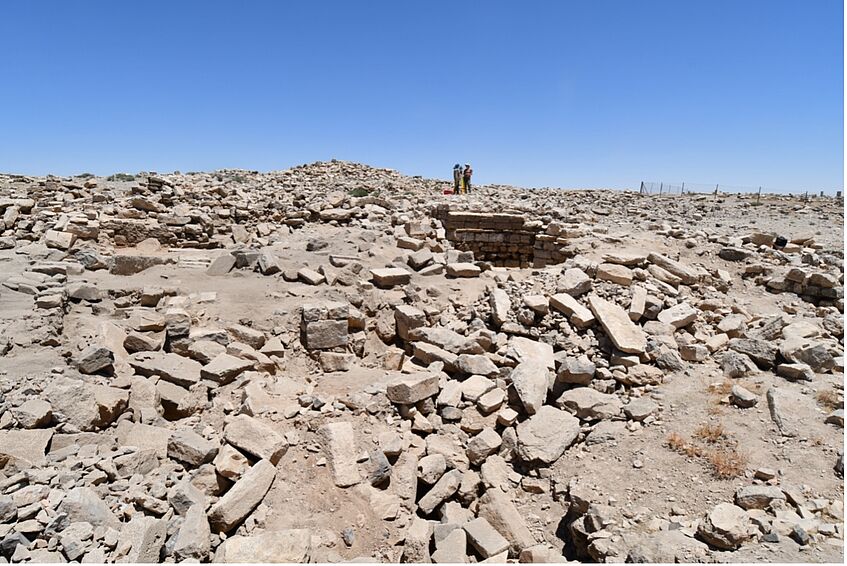
View from West in direction of the apse of the southern Church complex.

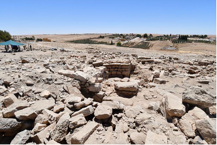
View from North on the apsidal structure.
Excavations 2019, 2021 and 2022:
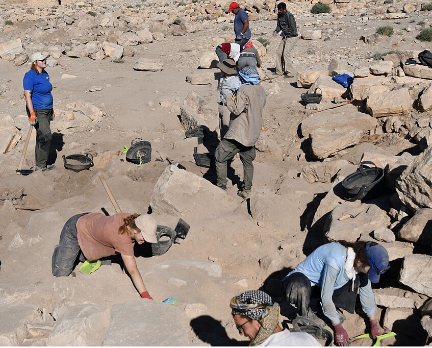
The excavations at al-Jumayil began within the frame of the “Teaching Excavations - Lehrgrabungen” courses provided as part of the Bachelor and Master Curricula at the Department of Classical Archaeology of the University of Vienna under the direction of Prof. Hamarneh. During the three excavation campaigns trenches in the village centre and in the Tall building (2019) as well as the southern church complex (2021 and 2022) have been excavated and studied.
By applying non-invasive digital methods, mainly photogrammetric survey and Lidar scanning, a digital surface plan of the site and of its most prominent features were produced, in addition to the mapping of some of the water cisterns.

Students of the University of Vienna at excavation work.

